This edition brings the essential planning points into one clear route. Use it to decide when to go, how much travel time to allow and which details need a same-day check.
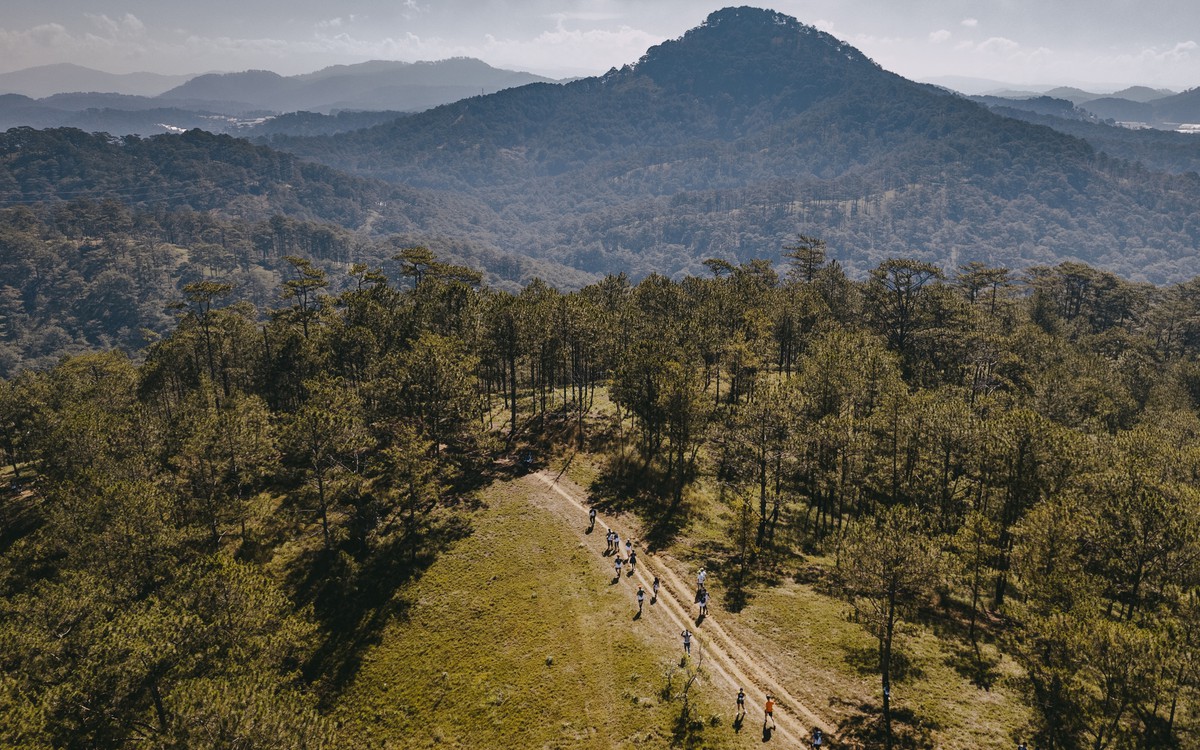
From a 5 km lake loop to 30 km-plus mountain trails, with terrain, difficulty and major race preparation.
Five Da Lat running routes at a glance
Distances are suggested ranges that depend on the starting point and laps. Follow current access controls and official GPX files.
| Route | Distance | Surface | Difficulty | Best for |
|---|---|---|---|---|
| ① 쑤언흐엉 호수 루프 | 약 5km | 포장 보행로·도로변 | 쉬움 | 회복주·첫 달랏 러닝 |
| ② LA DALAT–사랑의 계곡 | 5~8km | 포장도로·완만한 언덕 | 쉬움~보통 | 호텔 출발 조깅·업다운 적응 |
| ③ 도심 헤리티지 루프 | 8~12km | 포장도로·인도 | 보통 | 관광 러닝·지속주 |
| ④ 뚜옌럼 호수·소나무 숲 | 10~20km | 포장·임도·숲길 혼합 | 보통~어려움 | 롱런·트레일 입문 |
| ⑤ 랑비앙–단키아 권역 | 12~30km+ | 흙길·바위·급경사 | 어려움 | 산악훈련·대회 대비 |
Why include it in your trip
From a 5 km lake loop to 30 km-plus mountain trails, with terrain, difficulty and major race preparation.
Timing and route
Keep the day deliberately light. One major sight or activity, a relaxed meal and enough time for the return journey usually create a better Da Lat experience than a packed checklist.
Comfort and safety
Highland weather and traffic can change quickly. Leave a buffer between stops, carry a light rain layer and use the newest map pin when arranging a driver.
Check the latest details
Opening hours, event dates, ticket rules and transport conditions can change. Confirm the latest information with the venue or organiser before paying or setting out.
Location of LA DALAT Hotel
Address: 106A Mai Anh Dao, Ward 8, Da Lat, Vietnam
The hotel is about 5–6 km from central Da Lat and the market (usually 10–15 minutes by car), and roughly 35–40 km from Lien Khuong Airport (45–55 minutes). Traffic and weather can change these times.
View on Google Maps ↗Plan your Da Lat stay and golf in one conversation
Send your dates, party size, length of stay and golf plans for assistance in English.
Contact on WhatsApp